Leyton & Leytonstone
Historical Society


Cooper’s Lane, Leyton

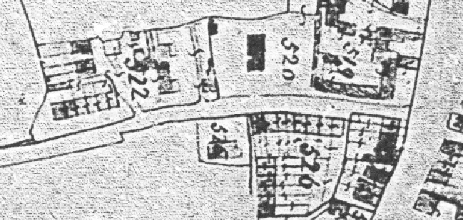
tithe map of about 1840
The laundresses had to get hot water. There was no stream of any size east of this section of the High Road. The 1840 Tithe Map seems to show one flowing away from the western end of Cooper’s Lane, but a more significant one coming away from the High Road nearer the junction with Hainault Road (then ‘Moyer’s’), the two combining to feed an ornamental lake where Primrose Road is now, as part of the landscaped grounds for the Grange house. An early name for Cooper’s Lane is ‘Well Street’ suggesting that the street once had a well. The brewery nearby would have used a lot of water and must surely have had a well. If the laundresses did not get their hot water from the brewery they might have bought it from a pub or house with a ‘copper’ for heating water, or perhaps they filled buckets with cold water and heated it themselves.
Jobs the men had
Of the 38 male heads of household in 1851, 16 were general labourers, 7 were gardeners, 4 were farm labourers, 2 were ‘carmen’ (who would have driven a goods cart), one a carrier (a horse and cart driver conveying people), one a coachman, 2 were carpenters, one was a bricklayer labourer, and there was a policeman, a shoemaker, a servant, and one man of about 62 years of age was receiving parish relief.

